
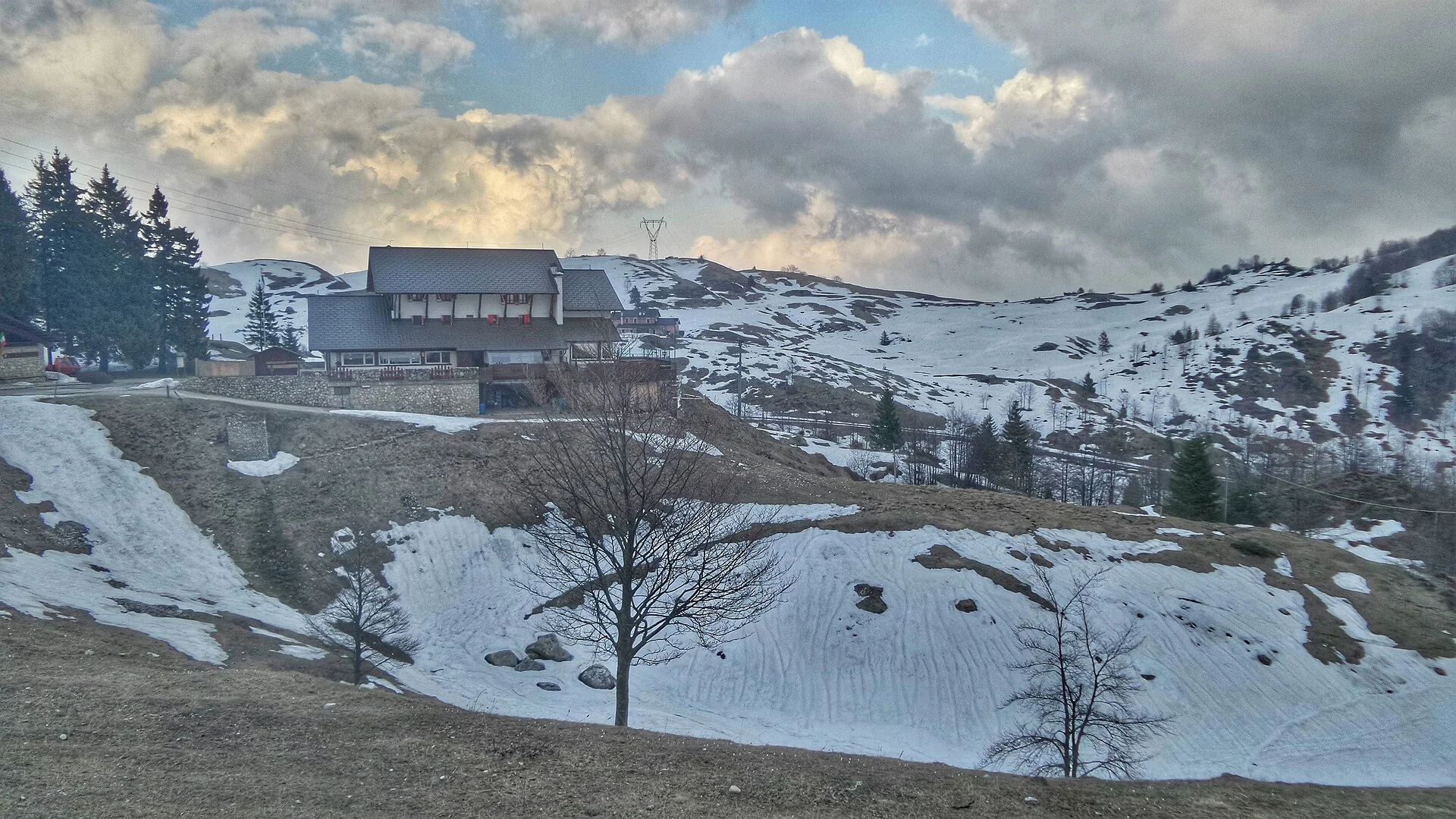
From Staro square, climb through hamlets, woodland and clearings to Staro Mille. Variant A continues through Piazza delle Erbe and Barloche, crosses Prà del Mola and joins Strada del Re towards Campogrosso. The photograph shows Rifugio Giuriolo near the destination.
Time, distance and cumulative ascent come from the local Staro organisation: 2 hours 30 minutes, 7.4 km and 1,072 m uphill, one way. The Unione Montana tourism portal confirms E difficulty for the same sequence of places; its conflicting summary measurements are not substituted for the local track figures.
The local site reports full waymarking only as far as Piazza delle Erbe and cautions about a footbridge and steep grass. That information is dated: check current conditions and carry appropriate mapping. Choose dry, snow-free ground. Return travel is extra.
