
From Manfron, climb towards Casàre and the Camonda road, then Passo di Manfron. An old military mule track leads towards Singìo and the Monte Cengìo ridge before returning to the hamlet. This is the Cengìo at Torrebelvicino, not the mountain with the same name on the Asiago plateau.
Route 12 is an 8.5 km loop. Pro Loco gives 3 hours 30 minutes and 310 m ascent. The Camonda detour and the climb to the cross are described as options, without separate measurements; we do not add invented distances for them.
Expect narrow, unprotected exposed sections around Cengìo. Sure-footedness and a head for heights are essential; this is not an easy walk for everyone. “Exposed sections” follows the source description and is not an invented CAI grade. Choose dry, snow-free, ice-free ground and stable weather.
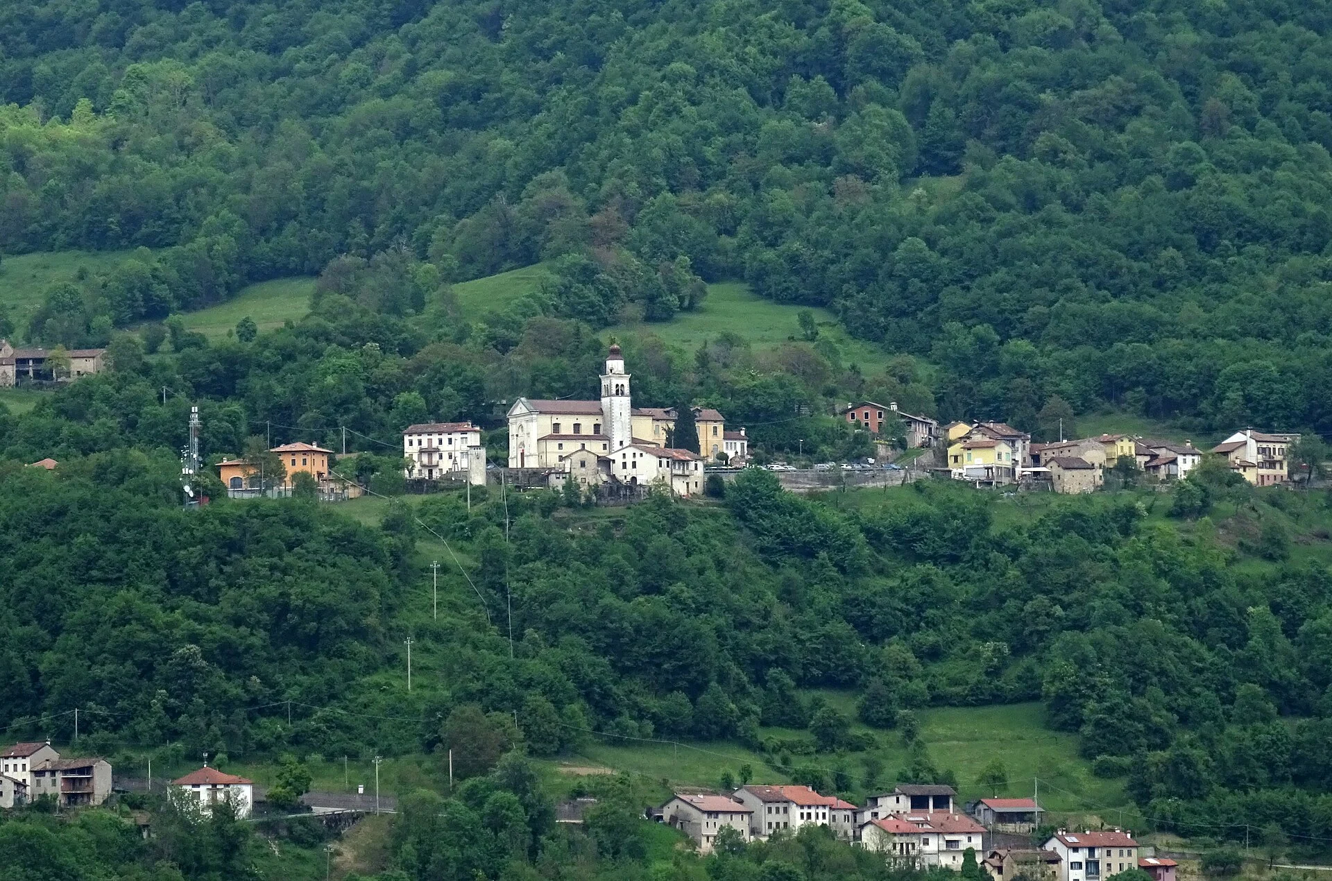
The photograph shows Enna and the Val Leogra landscape. It provides valley context rather than depicting sections of this trail.
